Services
Home > Services > GPS Services
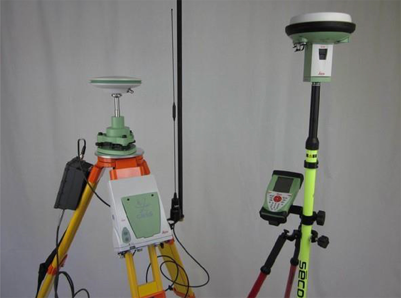
GPS Services
Our GPS surveys are an effective method for establishing horizontal and vertical control for aerial photography, cadastral mapping, pipeline, and other utility surveys. By establishing accurate horizontal and vertical control for your project, we help eliminate the possibility of any overlaps or gaps in your mapping database.
Utilizing our data will ensure your mapping project is based on a universal system acceptance and recognized by other mapping agencies. We have set precise control monuments for different municipalities. Having a physical monument in the ground can serve as a valuable reference point for others to calibrate their equipment to or work from.